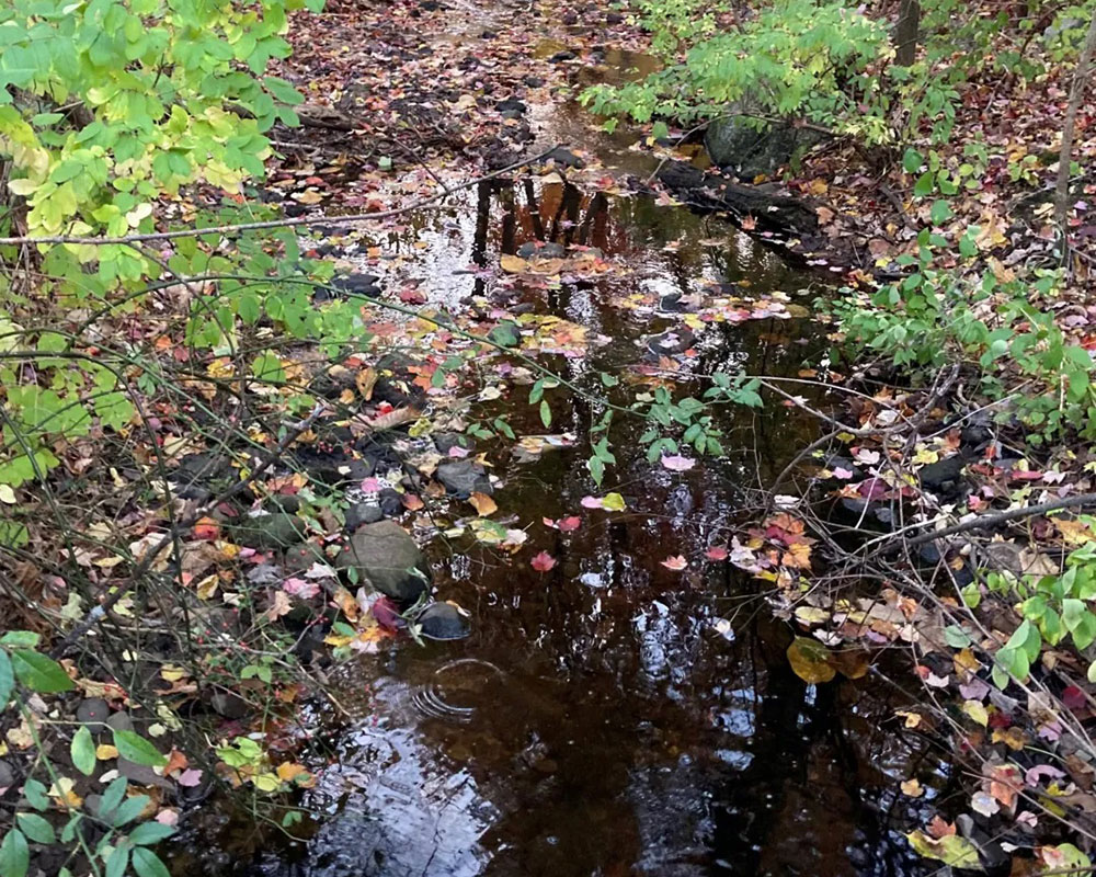

Neighborhoods along Jackson Street in Methuen and Lawrence have been hit hard by floods for decades, and the Merrimack River Watershed Council says climate change is expected to make those disasters occur more often and with more intensity.
Groundwork Lawrence has been asking residents for the past three months about experiences with flooding. The information will help engineers determine where they need to focus on creating flood controls. Meanwhile, Lawrence-based Merrimack River Watershed Council has been sampling the stream’s water to determine levels of contamination.
Surveying residents revealed 65% were impacted by flood events, most of those after heavy rainfall. Forty-three percent of those impacted by flooding said living in a flood prone area negatively impacted their quality of life. More information is posted at groundworklawrence.org/BloodyBrookSearlesPond.
Residents may view an interactive “StoryMap” that explains what the project is all about and why flooding happens where it does at merrimack.org/bloodybrook.
The Watershed Council also collects samples along the Bloody Brook every two weeks to monitor bacteria levels. Those results also appear online at merrimack.org/bloodybrook.
Next steps are for civil engineers from Pare Corp. to provide options for stormwater management and flood controls, including nature-based solutions for protecting water quality and managing flooding. The project team hold two public meetings where residents may learn more and give input Wednesdays April 13 and 27, both from 6-8 p.m., at Methuen Nevins Library, Third Floor Auditorium, 305 Broadway, Methuen.
The project is part of the state’s Municipal Vulnerability Preparedness program, which invests millions of dollars every year into protecting vulnerable areas from flooding and other impacts caused by climate change.