
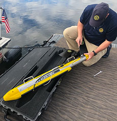
Klein’s Dennis Hogan prepares the side scan sonar equipment. (Courtesy photograph.)
A pioneering sonar firm that once went in search of Scotland’s Loch Ness monster has identified both natural and man-made obstructions in Haverhill’s stretch of the Merrimack River.
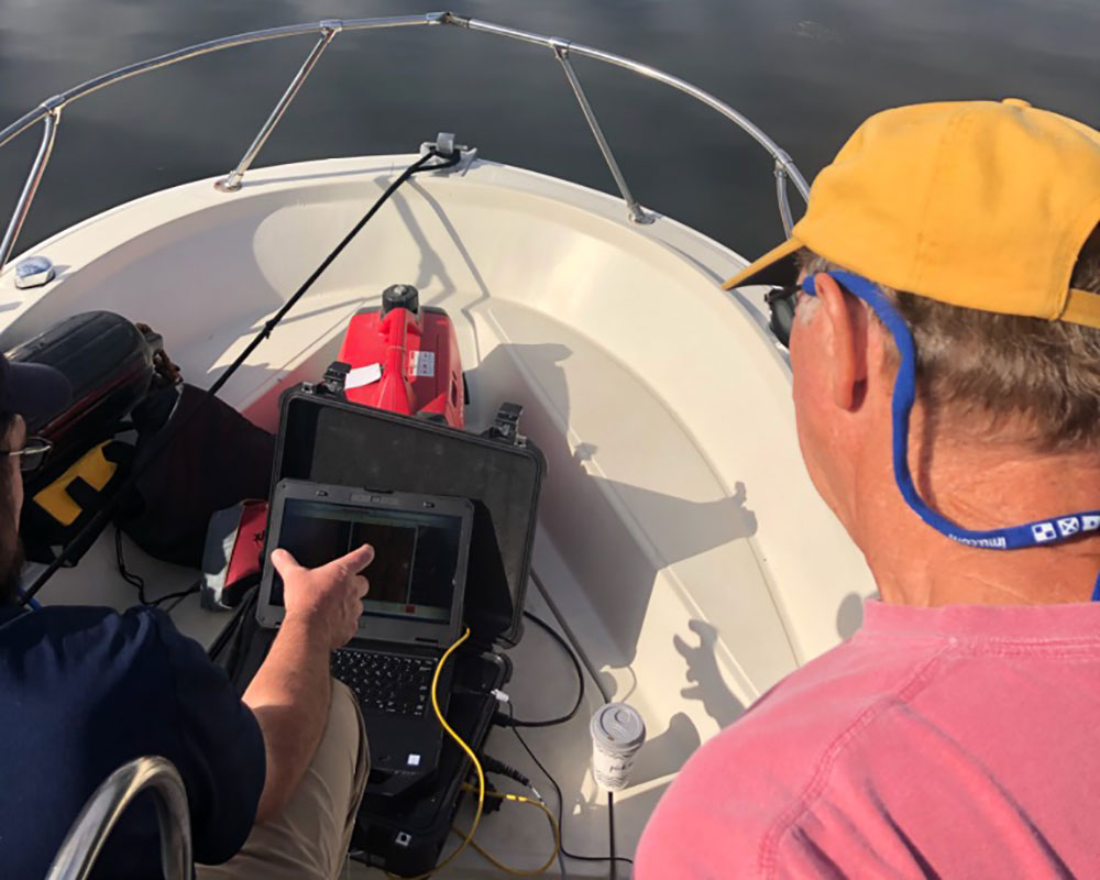
Dennis Hogan of Klein Marine Systems of Salem, N.H., recently discovered the source of boater-reported obstacles in the river using his company’s high-performance side scan sonar systems.
“Most of the obstructions that I’ve noticed are natural rock formations. There are a lot of targets down there, too numerous to map all of them,” he told WHAV.
Hogan, who lives in Merrimac, said he learned from WHAV last November about Greater Haverhill Chamber President Dougan Sherwood’s unsuccessful search for navigation hazards in the Merrimack. Hearing of Sherwood’s challenges against the river’s current and low visibility, he thought Klein’s technology would, literally, get to the bottom of the problem.
In August, after delays caused by the coronavirus pandemic, Hogan ventured out with Dave Goodwin, a member of the Greater Haverhill Foundation’s River Access Committee, with a focus on the waterway between the Basiliere and Comeau Bridges. They made multiple passes using Klein’s donated use of side scan sonar equipment. Besides mapping the principal obstruction as well as some shoaling, Hogan also discovered evidence of man’s abuse of the waterway.
“There’s a tire dump almost off the downriver tip of Porter’s Island,” he said. He explained how Klein’s findings may be used.
“You could use it to pinpoint and locate navigation instructions and mark them with buoys. We can check the position of the current buoys and make sure they’re right where they need to be. We can verify that the upriver and downriver moorings are in place,” he said.
Hogan said the 200 tires found near the city’s Riverside neighborhood might one day be the target of Rocky Morrison’s Clean River Project. Other items include pipes, sunken gangways and remnants of sidewalks that either fell in the river over the years or were dumped there.
Sherwood said he was more than excited when the company offered its services for free.
“This is stuff that the Navy uses to map the depth of oceans and things like that. It really allowed us to map the bottom of the river to really understand what’s underneath the water,” he said.
The data is to be formally presented to the Chamber and the Merrimack River Watershed Council later this month.